Identify aerial views of volcanoes
using AI
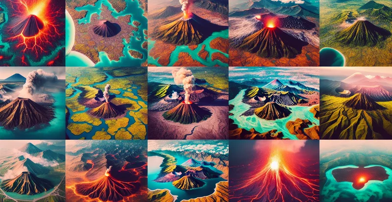
Below is a free classifier to identify aerial views of volcanoes. Just upload your image, and our AI will predict if the image shows a volcano - in just seconds.
Create a free account to:
Get instant API credentials
Start calling the API immediately with your own keys
Track accuracy on your data
See real-time performance metrics and understand how well the model works for your specific use case
Discover better models for your data
Get recommendations for specialist models trained on your examples that are more accurate and cost-effective
How this classifier works
To start, upload your image. Our AI tool will then predict if the image shows a volcano.
This pretrained image model uses a Nyckel-created dataset and has 2 labels, including Active Volcanoes and Inactive Volcanoes.
We'll also show a confidence score (the higher the number, the more confident the AI model is around if the image shows a volcano).
Whether you're just curious or building aerial views of volcanoes detection into your application, we hope our classifier proves helpful.
Related Classifiers


Need to identify aerial views of volcanoes at scale?
Get API or Zapier access to this classifier for free. It's perfect for:
- Volcano Monitoring: This function can be used by geological agencies to identify and monitor volcanoes from aerial images, helping to assess their activity and potential threats to surrounding populations. By analyzing changes over time, authorities can better prepare for possible eruptions and mitigate risks.
- Disaster Response Planning: Emergency management teams can utilize this image classification to quickly assess which volcanoes pose a current threat based on aerial reconnaissance. This allows for more effective planning and deployment of resources in the event of an eruption, ensuring timely responses to protect communities.
- Tourism Promotion: Travel and tourism boards can leverage the identified aerial views of volcanoes to create promotional content that highlights natural attractions. This can enhance interest and engagement, leading to increased visitor numbers and economic benefits for local areas.
- Environmental Research: Researchers studying the effects of volcanic activity on ecosystems can benefit from this classification function to focus on specific areas of interest. It aids in comparative studies of pre-and post-eruption landscapes, supporting conservation and environmental protection efforts.
- Land Use Planning: Urban planners can use the identified volcano locations to inform land use and zoning decisions, ensuring development projects do not encroach on hazardous areas. This functionality can enhance community safety by promoting awareness of natural risks.
- Insurance Risk Assessment: Insurance companies can utilize the aerial classification to evaluate the risk levels associated with properties located near volcanoes. This information is key in determining policy premiums and ensuring adequate coverage for clients living in volcanic regions.
- Education and Awareness Programs: Educational institutions can implement this image classification to enhance geography and earth science curricula, teaching students about volcanoes and tectonic activity. Hands-on projects utilizing real data can promote student engagement and scientific inquiry.