Identify scene coverage completeness
using AI
Below is a free classifier to identify scene coverage completeness. Just upload your image, and our AI will predict the completeness of scene coverage in various environments - in just seconds.

Create a free account to:
Get instant API credentials
Start calling the API immediately with your own keys
Track accuracy on your data
See real-time performance metrics and understand how well the model works for your specific use case
Discover better models for your data
Get recommendations for specialist models trained on your examples that are more accurate and cost-effective
How this classifier works
To start, upload your image. Our AI tool will then predict the completeness of scene coverage in various environments.
This pretrained image model uses a Nyckel-created dataset and has 4 labels, including Absent, Complete, Minimal and Partial.
We'll also show a confidence score (the higher the number, the more confident the AI model is around the completeness of scene coverage in various environments).
Whether you're just curious or building scene coverage completeness detection into your application, we hope our classifier proves helpful.
Related Classifiers

Need to identify scene coverage completeness at scale?
Get API or Zapier access to this classifier for free. It's perfect for:
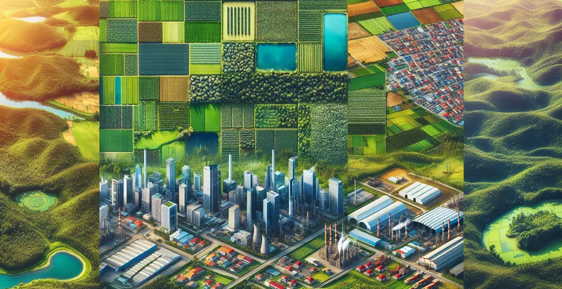
- Enhanced Urban Planning: This function can be utilized by urban planners to assess the completeness of scene coverage in a city. By identifying areas that lack sufficient representation, decision-makers can better allocate resources and prioritize developments in underserved regions.
- Marketing and Advertisement Optimization: Brands can employ the false image classification function to evaluate the effectiveness of their advertising campaigns in various locations. This analysis can help them identify gaps in market coverage and adjust advertising strategies to maximize reach and impact.
- Agricultural Monitoring: Farmers and agricultural organizations can use this function to assess the completeness of drone or satellite imagery over crop fields. By identifying areas that have been overlooked, they can ensure more comprehensive monitoring and optimize crop management practices.
- Disaster Response and Management: Emergency services can utilize this identifier to assess the coverage of imagery in disaster-stricken areas. Identifying scene coverage gaps allows responders to focus their efforts on those regions, ensuring timely and efficient relief operations.
- Environmental Conservation Efforts: Non-profit organizations focused on environmental conservation can apply this function to monitor and evaluate the coverage of protected areas. This will help them identify regions that require more attention and resources for conservation activities.
- Smart City Development: Cities implementing smart technologies can leverage scene coverage completeness data to ensure their sensor networks provide comprehensive coverage. This will improve data collection accuracy for traffic, air quality, and other urban metrics.
- Autonomous Vehicle Navigation: Developers of autonomous vehicle systems can use this classification function to ensure sufficient data capture within operational areas. By identifying regions lacking adequate scene coverage, they can enhance safety and navigation capabilities for their vehicles.